
“SWOOPING Low Over the M4,” was the headline over a full-page broadsheet picture story in the Adver on Saturday, January 24, 1970.
The 70mph link between London and South Wales wouldn’t fully open for another 23 months or so, but we regularly printed aerial views of the work in progress.
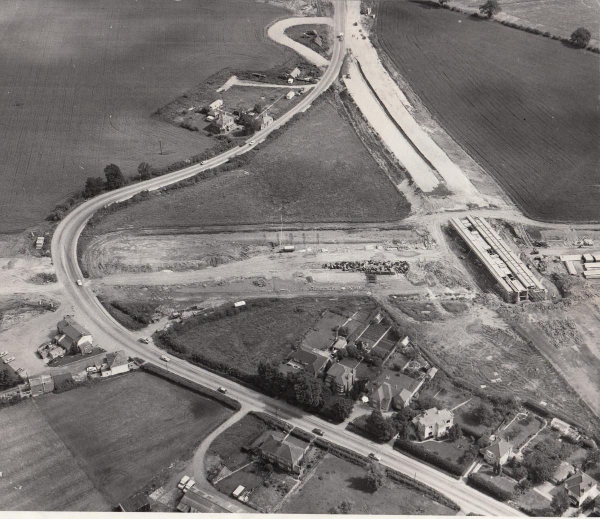
Our feature that day was dominated by a view of what would become Junction 16 but was at that time a newly-gouged wound in the landscape.
“This is Spittleborough,” we said, “ where the M4 will intersect the present Swindon-Wootton Bassett road.
“By American standards the site may be small, but it will involve a massive upheaval in the countryside west of Swindon.
“At the moment the area is a vast morass, and the existing main road crosses it in a succession of bumps and sharp curves.”
The buildings just visible in the middle left of the image remain, while the countryside extending beyond the frame to the right now accommodates Freshbrook, Grange Park, Toothill and Windmill Hill Business Park.
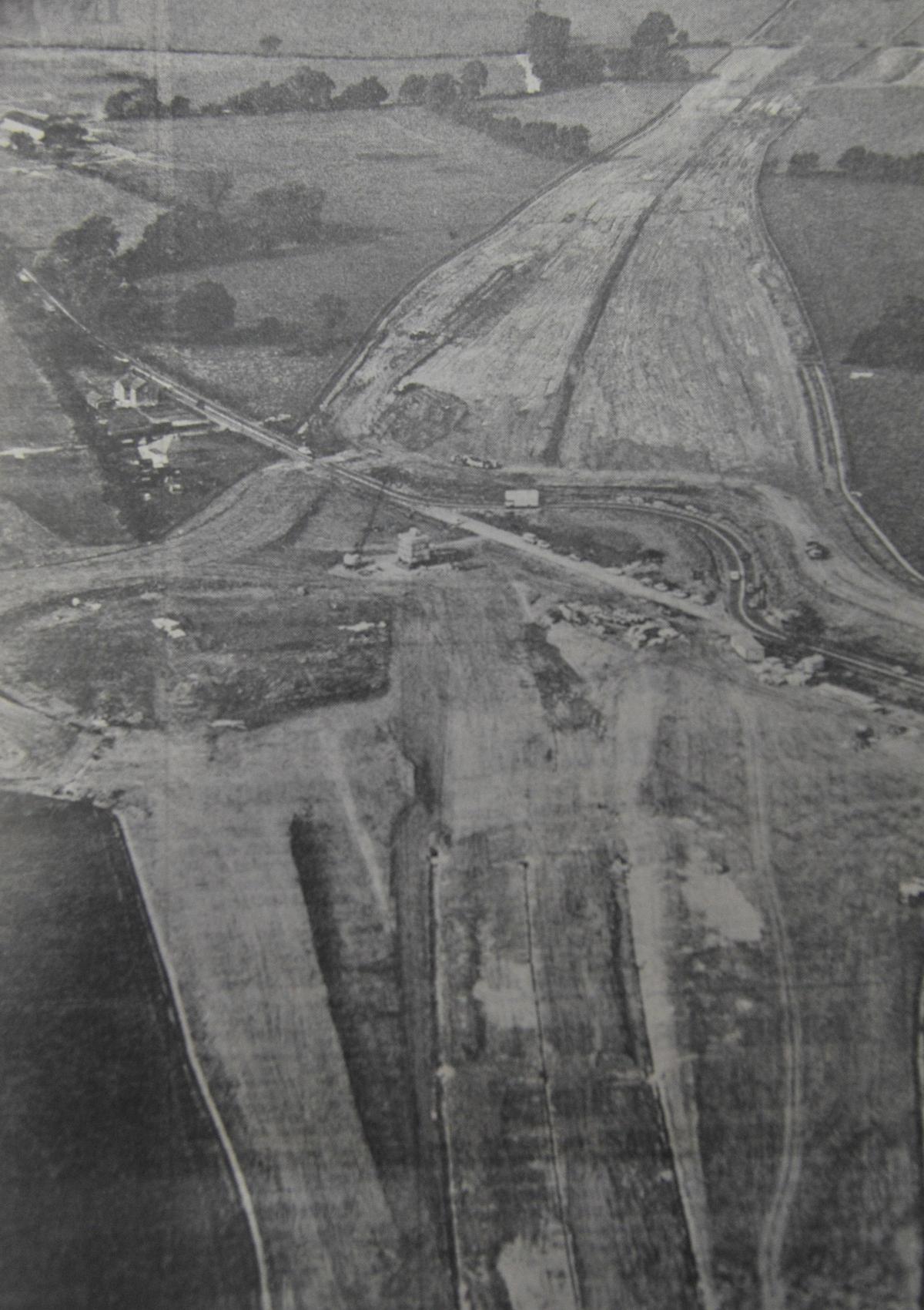
During the period we also ran an image of the point at which the new motorway crossed Croft Road – or rather, would cross Croft Road once a bridge was built.
Much of the open space in the top left of the photograph is now occupied by part of Wichelstowe. The Check Inn can be seen toward the bottom left, while the land in the opposite corner is occupied by the Wroughton Park and Ride site.


Comments: Our rules
We want our comments to be a lively and valuable part of our community - a place where readers can debate and engage with the most important local issues. The ability to comment on our stories is a privilege, not a right, however, and that privilege may be withdrawn if it is abused or misused.
Please report any comments that break our rules.
Read the rules here