
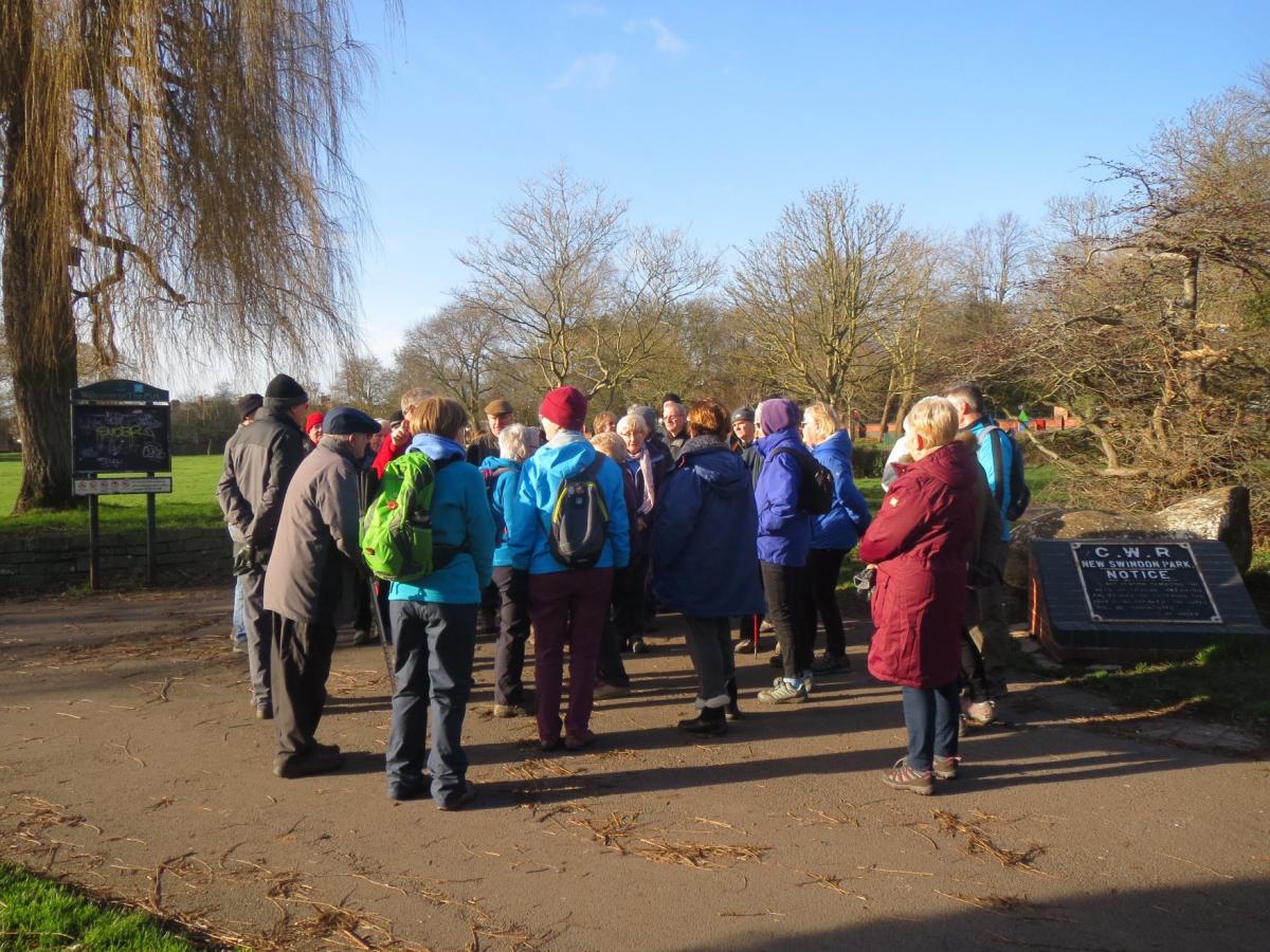
The latest in our series of walking routes supplied by Swindon Ramblers passes through beautiful downland and among fields of ancient stones.
Distance: 5.5 or 3 miles
OS Maps: Explorer 157 Landranger 173
Start: There are no suitable bus services. To reach Rockley (SU158719), take the A4361 from Swindon through Wroughton and turn left neat Broad Hinton on the road to Marlborough. After about five miles, turn right at the sign for Rockley. If travelling by car, park considerately in the hamlet where the road is widest
Directions:
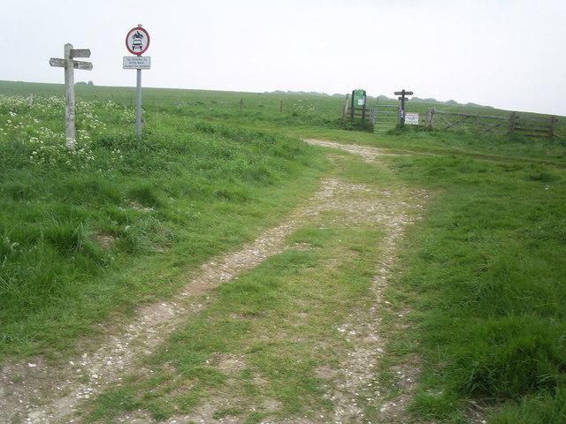
1 Start your walk by returning through Rockley, passing what was formerly a one-room school but is now a restoration workshop, and a redundant church.
2 Take the path next to the church and climb steeply to the wood, pausing to look back at the extensive downland views. Keeping the wood on the right, go forward to meet a track at the stables. Continue along this track to the T-junction.
3 Turn right and walk for 400 yards, keeping a watch for a gap in the trees on the left.
4 Turn left through the gap in the trees. Continue ahead, following a wooden fence on the left, to reach a tall hedge. With the hedge on the left, walk ahead. Cross a track and continue in the same direction, passing some starting stalls, to reach the winter gallops. Cross these to reach a hard track.
5 If you prefer a shorter walk, turn right and walk towards the reservoir and the track mentioned in stage 10. Turn right. For a longer walk, turn left along the track, passing passing the private road to the left. Take the right track to reach a gate on the right. through the gate and cross the corner of the field to reach another gate.
6 Go through this gate and follow the track ahead, keeping the fence on the left and ignoring a fork to the right, to reach the valley bottom.
7 Turn right and walk past a stand of fir trees. Continue along the Sarsen Stone Valley with a line of trees on the right. At the end of the line of trees, bear right up the hill to a gate on the left. Go through the gate.
8 From the gate, follow the track alongside the fence, keeping the fence and Wroughton Copse on the right. At a fork, bear left and aim towards the cottage among the trees - Delling - to a track. This is the Herepath, an ancient road from Avebury to Marlborough.
9 Turn right and pass through a gate. Follow the track out of the nature reserve to a reservoir.
10 Continue along the track, which goes slowly downhill and then more steeply to a beech copse before rising.
11 At the top, turn left off the track and follow the edge of the field with the mature beech hedge on the left into Lovers Lane and down to the road. Turn right and return to the start.
THIS walk and others provided to the Adver by Swindon Ramblers can be found in the group’s books of routes.
The books are on sale at the Central Library and the Brunel Centre branch of Waterstones, and can be ordered by post at www.wiltsswindonramblers.org.uk/index.php/ne-wiltshire
Swindon Ramblers launches its Festival of Winter Walks on Saturday, December 21 with a 5 mile leisurely circular route at Cotswold Water Park. will meet at the Cotswold Gateway Centre, just off the A419 at South Cerney, for a 10.30am start.
The walk will take in the Thames and Severn Canal, Claymeadow Lane and Wildermoor Farm before returning to the Gateway Centre.
The next scheduled festival walk is a five-mile moderate circular one from the Ellendune Centre in Wroughton on Boxing Day, starting 10am.
On the following day there will be a three-mile walk from the Ellendune Centre, starting at 5.30pm.
The website has details of these and other winter walks.


Comments: Our rules
We want our comments to be a lively and valuable part of our community - a place where readers can debate and engage with the most important local issues. The ability to comment on our stories is a privilege, not a right, however, and that privilege may be withdrawn if it is abused or misused.
Please report any comments that break our rules.
Read the rules hereLast Updated:
Report this comment Cancel